This exercise sought to illustrate the challenges of maintaining maximum data quality throughout the GIS decision loop. There were several stages in which data quality could have been compromised:
Original data collection. Data from members of the user groups may not be reliable. Each user may perceive 'conflict' differently and so provide inconsistent data. This is an important issue, as once the data is collected, it virtually impossible to improve its quality.
Data input to the GIS. There are a variety of methods of inputting the data to the GIS. Each has inherent advantages and disadvantages and the appropriate method must be identified in order to minimise the risk of compromising data quality.
Data analysis. Any manipulation of the data within the GIS may negatively influence data quality. Particular risks include changing map projections, modifying the scale of data and overlaying several data layers.
Presentation of data. The style of data output can influence the perceived importance of the results. For example, if the areas of conflict were coloured red, they may be treated differently than if the areas of conflict were coloured brown or green. It is important to recognise that the way in which GIS data is presented can influence the outcome of the decision to be made.
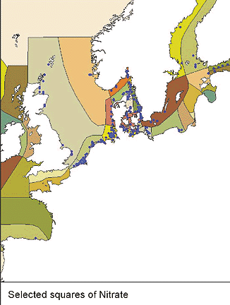
This exercise is typical of the use of GIS in coastal management. Data is of uncertain quality and the GIS output is required to make specific management decisions. The role of GIS is to help make better decisions than would otherwise be the case, therefore the careful management of data and data quality is potentially very important. There is a clear connection in the GIS decision loop between all components of the loop, if either data collection or the use of the GIS are in any way sub-optimal, then it is likely that the final decision will also be sub-optimal. This is why GIS is so important to the implementation of so many coastal management programmes.
If you followed the exercise through to question 3, you will also have put together a brief GIS plan to consider how GIS can be used to tackle a problem of importance to you. You could use this plan to research data availability and general resource considerations for the full implementation of a GIS. Completing this task for an area known to you should also have demonstrated the degree of preparation and fore-thought required to undertake a GIS project.
|